Marine Highway Traffic Monitoring System with Trajectory Prediction from AIS Data
Client
- Confidential
Category
- AI & Machine Learning
The Problem
On busy marine highways, a vessel wandering off its designated route can turn into a collision or grounding fast. Spotting that drift early, across many ships moving at once, is a hard monitoring problem that human operators can't watch continuously.
What We Built
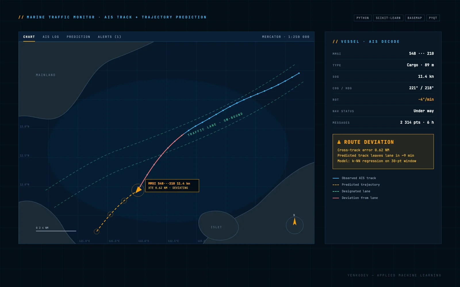
We built a monitoring system that reads the position broadcasts ships transmit, plots the track on an interactive nautical chart, and learns a vessel's movement pattern to predict where it's heading. When the track strays from the predicted route, the system raises an alert. The prototype runs against recorded AIS files for a single vessel rather than a live multi-vessel feed. It was built to test whether trajectory prediction from noisy positional data works at all, which is exactly the kind of applied machine-learning question we build for.
Results
- 35,700 messages
decoded from three recorded AIS captures and plotted on a nautical chart
- Up to 85 vessels
distinct ships identified in a single capture from their position broadcasts
- Heading on the chart
every fix drawn as a marker rotated to the vessel's reported heading, so direction reads off the plot
- One track at a time
the prototype models and forecasts a single vessel, not a live multi-vessel feed
Techstack